Dr. Christine Hatch, Geosciences, used the lab’s laser scanner for river-bed monitoring in this project, which was features on the WGBY show Connecting Point:
Western New Englanders know the importance of rivers. Parks run alongside them, bridges cross them, farms flourish in the rich soil near their banks. But when rivers flood—as they did during Hurricane Irene in 2011—they don’t just destroy parcels of land; they change the face of commerce and culture in affected communities for years to come. A group of researchers from UMASS Amherst has been spending time collecting data and researching the Connecticut River flooding so that they can better understand how rivers reclaim themselves after a catastrophic event. Producer Dave Fraser tagged along on a recent research endeavor to learn more.
Continue reading “Researching the Connecticut River Flooding”


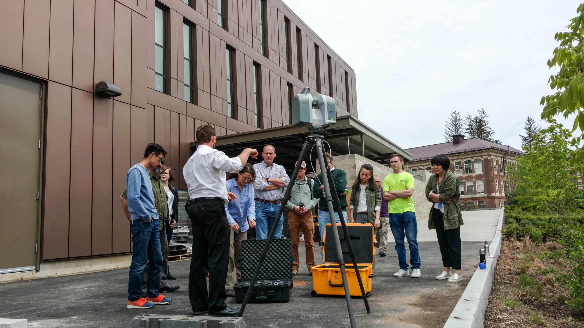
 UMass BCT Graduate Student Brett Barnard can be seen here operating the Trimble TX8 3D Scanner with Senior Andrew Smith and Sophomore Leo Minniti to survey and analyze a retaining wall on the Amherst campus. They plan to scan the entire wall in both Fall and Spring to obtain multiple 3D point clouds of the area for surveying and mapping purposes. Continue reading “Surveying a Retaining Wall”