Center for Heritage & Society

Center for Heritage & Society

University of Massachusetts Amherst

Menu

  • Home
  • Climate Change & Heritage
    • The Future of Our Pasts – WHC 43, Baku, Azerbaijan
    • UNFCCC Warsaw Mechanism on Loss and Damage Meeting
    • Resources for Heritage and Climate Change
  • Cultural Landscapes Initiative
    • Definitions
      • Pastoralism
    • Featured Research
      • Heritage Trees: International Legislation, Research and Registries
      • Informal Settlements and Historic Urban Landscapes
      • Research Abstracts
      • Sustaining a Korean Traditional Rural Landscape
    • World Heritage Cultural Landscapes
      • Rapa Nui: A Cultural Landscape in Isolation
    • Resources
      • International Legal Structures
      • Online Resources for Historic Maps
      • Online Resources for Historic Garden and Landscape Books
        • 14th Century Books
    • Methodologies
      • Methodologies: Lidar Imaging
      • Participatory Heritage: The Walking Interview
      • Maps as documentary evidence
      • The Importance of Models
    • PROPOSE A PROJECT
  • Projects
    • CHS Leadership Affiliations
    • US/CLICK – Cultural Landscape Practice Knowledge Community
  • Conferences
    • 2019 ICOMOS Scientific Symposium Rural Heritage: Landscapes and Beyond
    • Symposium 2017
      • Symposium and Workshop Registration
  • News
  • Journal
  • About
    • What is Heritage?
    • Why Heritage?
    • People
    • Contact Us

cultural resource documentation

Garten Ordnung, 1597, Johannes Peschel
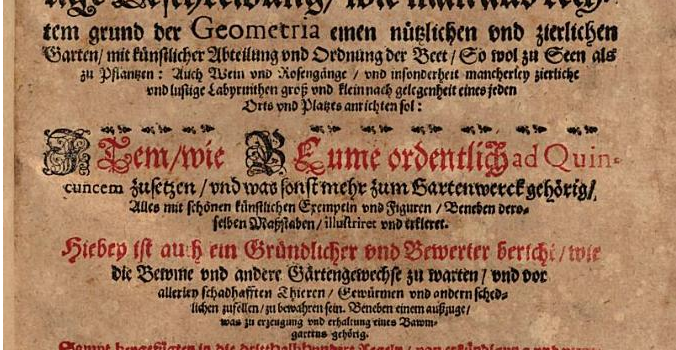
Garten Ordnung, 1597, Johannes Peschel

darinnen ordentliche Warhaftige Beschreibung, wie man aus rechtem grund der Geometria einen nützlichen und zierlichen Garten … anrichten sol, etc.
Center for Heritage & Society May 21, 2020 Europe, Germany, Research, Resources Read more

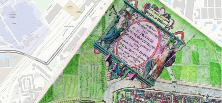
Online Resources for Historic Maps

Online Resources for Historic Maps
Center for Heritage & Society April 3, 2020 Research, Resources, Worldwide Read more

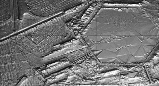
Methodologies – LiDAR Imaging

Methodologies – LiDAR Imaging

LiDAR (or LIDAR) – light detection and ranging – is a method to generate very precise topographical measurements about a particular piece of land.  Achieving up to 2″ (5.08 cm) differences in topography, LiDAR is an exceptionally useful tool for
Center for Heritage & Society March 18, 2020 Italy, Research, USA Read more

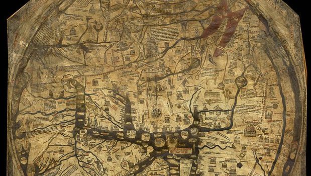
Medieval map shows changing concept of people, cultures and “races”

Medieval map shows changing concept of people, cultures and “races”

A recent BBC video explores the significance of the Mappa Mundi at Hereford Cathedral, United Kingdom … The Mappa Mundi at Hereford was created about 1300CE – 700 years ago – as a reflection of the Europeans understanding of the
Center for Heritage & Society January 20, 2020 Research, Resources, Worldwide Read more

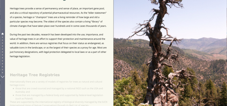
Heritage Trees: International Legislation, Research and Registries

Heritage Trees: International Legislation, Research and Registries

This research presents two aspects of the the state of recognition and protection for heritage trees worldwide: examples of regulatory efforts in specific countries, and the state of the research on heritage trees, their identification, protection and management. Heritage trees

Center for Heritage & Society March 23, 2019 Australia, Poland, Research, USA, Worldwide Read more

Center for Heritage & Society
210 Design Building, University of Massachusetts Amherst MA, 01003

information.chs@umass.edu