To Mt Norwottuck and Back

My plans for today did not work out:  at 9:30 am, I found myself in Northampton, asking MM_Nor07myself, What can I do on this beautiful late autumn day?  I drove to my office in Amherst, logged in to the DCR site, and printed out a map of the Mt Holyoke Range State Park.

By 10:15, I was parked at the Notch Visitors Center on Route 116.  There are over 30 miles of hiking trails in this park, but I didn’t have all day, so I picked one of the Holyoke Range peaks almost at random — Mount Norwottuck — and headed to the summit.

On my way up, I hiked the white-blazed Metacomet-Monadnock Trail, a 114-mile trail that extends from the Massachusetts-Connecticut border to Mt Monadnock in southern New Hampshire.  From the 1106-foot peak, I descended to the Horse Caves and then continued east to where the Swamp Trail and the Robert Frost Trail intersect with the M&M.  Here I turned west and hiked the Robert Frost back to the Notch.  There were a number of hikers out and about today, singles, couples, and families, all enjoying the park.

Here are two photos I took from the Scenic Vista at the summit.  You can see UMass campus, including the building where I work, in the thumbnail on the right:

MM_Nor01MM_Nor02

The ridge that forms the spine of the M&M Trail was formed 200 million years ago during the late Triassic and early Jurassic periods, a product of several massive lava flows that welled up in faults created by the rifting apart of North America from Eurasia and Africa. Like the rocks in Hawaii where I grew up, the summit of Norwottuck is basalt, a dark-colored, extrusive volcanic rock:
MM_Nor03
I think these are the Horse Caves, a series of sedimentary rock overhangs located beneath the summit of Norwottuck.  Legend has it that they were used as a bivouac by rebels during Shay’s Rebellion:
MM_Nor04
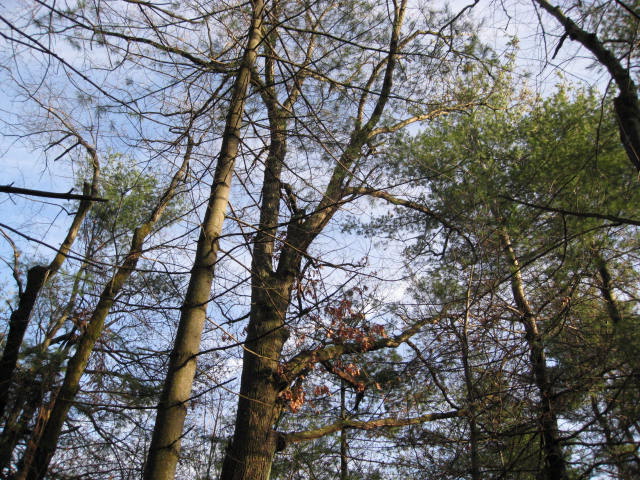
I don’t know what these are specifically, but I liked the look of the lichens, moss, and the fallen leaves:
MM_Nor06
According to Wikipedia, this peak was originally called Hilliard Knob; Amherst College geology professor Edward Hitchcock applied the Native American name Norwottuck to the mountain.  The Metacomet Ridge was named after Metacom, the 17th century sachem of the Wampanoag Tribe of southern New England who led his people during King Philip’s War, the bloody mid-17th century confrontation between English colonists and Native American tribes.

Angell Brook Conservation Restriction

Angell_1In January this year, the Angell Brook Conservation Restriction, originally proposed by the West Boylston Land Trust, was approved by the West Boylston Conservation Commission. To celebrate this preservation accomplishment, the Greater Worcester Land Trust invited members to a family-friendly hike at the property. When I received the invitation, I decided to attend, because in reviewing the map and directions, I noted that I had worked about a half-mile from the CR for almost six years, yet hadn’t been aware of its value as open land. At 1:30 this afternoon, a small group of us met in the parking lot of the Atlas Press on Shrewsbury Street in West Boylston, where Director Colin Novick introduced us to the area; then our group crossed over the railroad tracks which run parallel to the street and began looking for Colin’s yellow-tagged trees to guide us through the undergrowth.

Development: The surrounding area is heavily developed, both for residential and industrial use (I worked in the Hartwell Street Industrial Park); there is also a correctional facility nearby. As a result of the drainage needed for this type of high impact land use, some parts of this now-protected parcel are artificially wet, and the tree species which thrive here have to be moisture-tolerant.

Wetland Trees:  Often, at the edge of a wetland, one sees dead trees, trees which basically have drowned. Ash (Fraxinus), white birch (Betula), and poplar (Populus) are pioneer species in areas where swampland was drained but the soil is still wet.  Also known as the swamp maple, red maple (Acer rubrum) is prevalent here, due to the soil conditions.  We observed that many of the trees in this parcel had been marked with a red blaze, indicating that they had been checked for the Asian Long-horned Beetle infestation by USDA specialists.

Angell_2Meadows: We’re looking at a beaver meadow; evidence of beaver activity are logs that have been chewed in a shape like a pencil point. We also see cattails (Typha latifolia) growing here (though you can’t make them out in the photo), rather than the invasive Phragmites, which is one sign of a healthy marsh ecosystem.

Invasives: Multiflora Rose and Oriental Bittersweet are in this category. They don’t belong here! Any volunteers to uproot them from this parcel?

Ice Event: Many people have noticed the abundance of acorns this year; likewise, pine trees have fruited abundantly. This could be due to the stress of the Ice Storm of 2008, which caused so much damage to Worcester’s trees.   Our trees might be exhibiting an almost instinctive survival response.

Stream: Water flows here in a channel (below, left), creating a different habitat from the first marshy area we encountered this afternoon.  We could hear frogs!  Trees on a stream bank will often topple in a storm; their exposed root systems (below, center) and the rotting wood of their trunks and branches attract a variety of species, who find shelter and food there.  ”Letting nature take its course” will create a more varied habitat than trying to clean up fallen trees.

Upland Trees: Oaks (Quercus) and white pine (Pinus) prefer drier ground (below, right)
Angell_3Angell_4Angell_5

History: Yes, we saw stone walls today too — no surprise in that.  These walls probably enclosed grazing land, rather than fields, because sheep-raising, rather than farming, used to be an important industry in this hilly terrain with its thin rocky soil. Now these remnants of the agricultural past are enjoyed by snakes and chipmunks.

Climate Change: By mid-afternoon, it was sunny and quite warm for November:  a beautiful day for a hike, but perhaps emblematic of global changes in our weather patterns. New England is New England because it’s cold here for most of the year –there’s no getting around that. We love our maples, especially as they turn scarlet and orange in the fall, but maples are a northern species. Maple sugaring is a big industry in Massachusetts, but it’s even bigger farther north, in New Hampshire, Vermont, Maine, and especially eastern Canada. What will be the consequences of warmer winters?  This change will surely impact our trees and the insects and birds that have co-evolved with them. Perhaps in fifty years, New England’s climate will be more like that of North Carolina, or Virginia, or Maryland today.

West Boylston:  The town consists of approximately 13 square miles, of which about half has been acquired by the Metropolitan District Commission for watershed protection.  This is an unusually high percentage; the challenge is to continue seeking protection for lands with demonstrated conservation value.