I’ve been a member of Trustees of Reservations for a while now, and this morning, as I was idly clicking through their website, I glanced at their Properties map page. “Hmm,” I said to myself, “What’s this place in Monson? It’s fairly close to me.” I decided to see for myself.
 Around 1 pm, I got in my car and headed to Palmer, taking the back roads through Warren. I turned on to Route 32 in Palmer and then drove south, over the Quaboag River to the center of Monson, then onto Ely, Lower Hampden, and then Butler Roads, past the Miller Forest Tract, to the Peaked Mountain Tract.
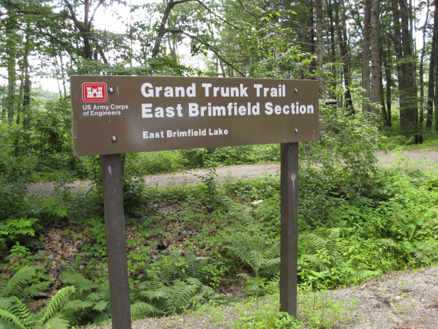
Established in 1999, the Peaked Mountain reservation consists of 296 acres of mostly oaks and other hardwood forest trees. Scrub oaks dominate on the exposed rocky summit of the 1,227-foot mountain. There are over 3 miles of trails, some of which are clearly blazed and others — well, not so much.
Most hikers want to climb to the top of Peaked Mountain, I among them, so the trail intersections leading up to the summit are marked with big numbers, and the paths are well-defined. Using the schematic map I had printed out, I found points 1, 2, 3, and then 5 at the Fire Pond, then 6 at the start of the Turnpike, a segment of which is pictured below, and 7 where the charcoal mounds are located.

Roslyn's Turnpike
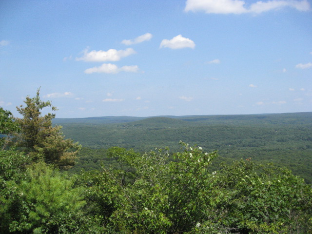
I then headed south and found markers 10 and then 11, at the start of the Valley View trail. Here is a view from the overlook:

Valley View
This is probably the steepest portion of the trail:

We climb up over rocks
The views from the summit really are magnificent. These three photos are my attempt at a panorama. Supposedly, one can see Mt Wachusett and Mt Monadnock to the north, but I think I’m looking east here.


Near the summit, I saw a small covered enclosure in which a notebook is kept for hikers’ comments. I wanted to record my ascent, but the pages were completely filled. I took a photo of it anyway. Very near here is what looked like a geodetic benchmark, and since my younger sister works on these, I took this photo for her. On the way down, near marker 9, I saw these Indian Pipes; the scientific name of these saprophytes is Monotropa uniflora.


At marker 8, I decided to take Ruth’s Mountain Road, which I don’t think many people do. I found Marker 13, but then in the small pasture near the property boundary, I nearly missed marker 12 because it was almost hidden by tall grass and brush. There was nothing that looked like a path anywhere near here, but after I stood for a while and scrutinized my surroundings, I noticed a red flag on a branch, so I headed toward it. By looking ahead for these flags, I bush-whacked my way to markers 15 and 14, then walked Skid Row back to Roslyn’s Turnpike. Here I turned west to marker 4, the start of Kevin’s Rd, and from there back to the parking area.
It being a sunny day after rain, the insects were out and about, but hiking this property was a great way to spend a summer afternoon.
[Update on Aug 1: The PID, or Point Identifier, of the benchmark is MZ1557.]